Environmental characterisation studies and guidance to environmental project choices
Although with different accents and perspectives, these innovations have proposed the need to operate a prior knowledge of the context of location of the project, to be taken as a reference framework on the basis of which to define the design choices concerning the infrastructure and those relating to mitigation and compensation measures.
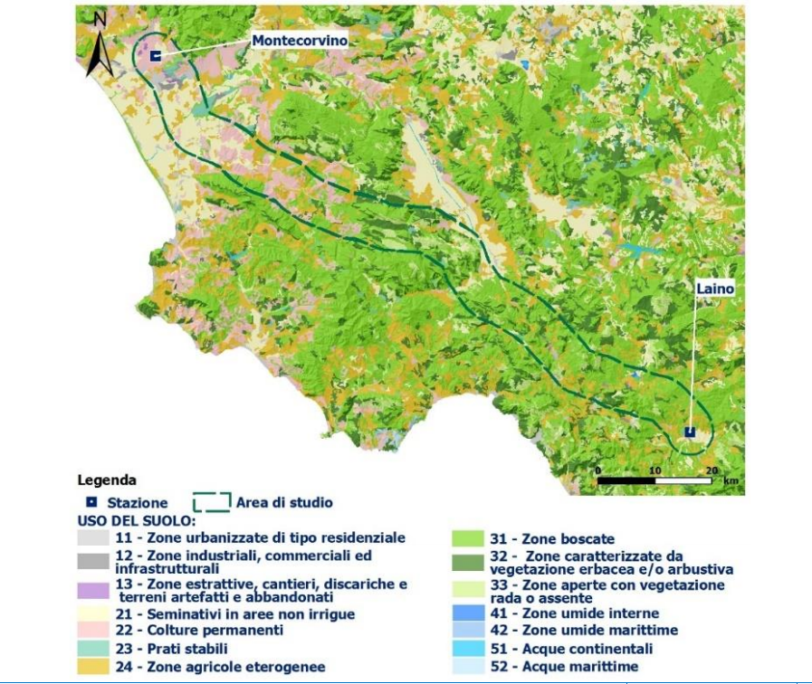
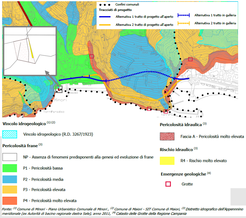
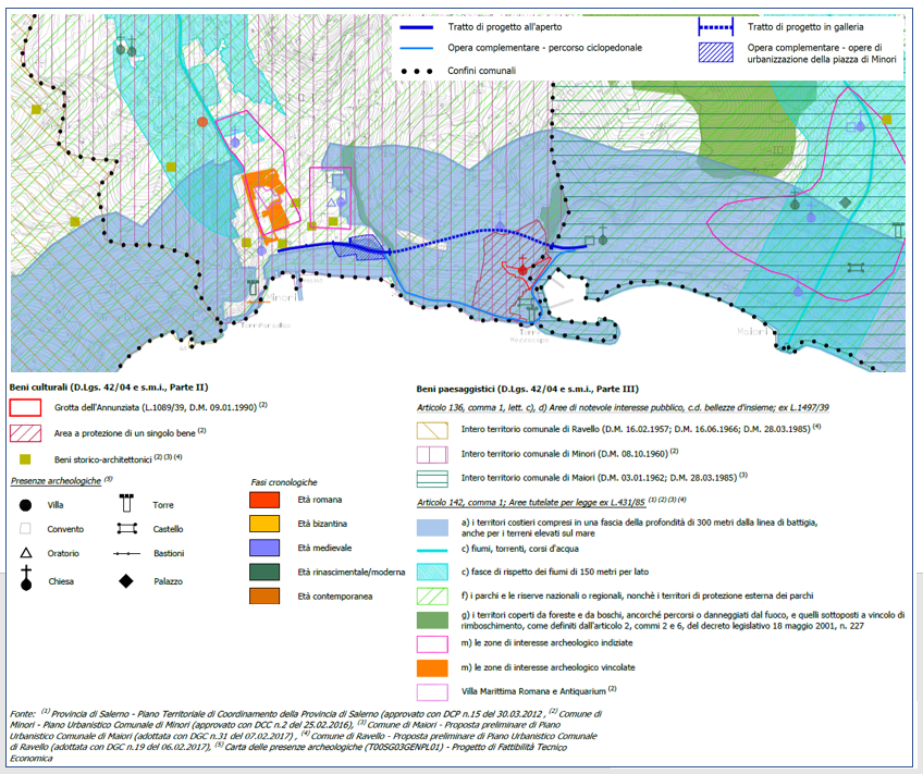
In order to take on such a role, such knowledge must go beyond the restricted limits of the area where the project will be located (knowledge that can be referred to a traditional approach, focused only on the local impacts caused by the project) and set the project within a wider context, in terms of extension and thematic scope. In essence, this knowledge must be aimed at identifying and systematising the system of resources, both current and potential, offered by the territorial context within which the project is planned.
In this perspective, Iride has implemented and tested a specific working method whose guiding criterion is based on the concept of Sustainable Development and, in particular, on the three dimensions according to which this has been declined in the scientific literature of the sector. The territorial resources identified and systematised in this way will define as many "value maps", intended as a reasoned synthesis of the heritage expressed by the local context, the overlapping and integration of which will help to guide the project activity, defining conditions, opportunities and intervention methods, scale of priorities.
VOUCHER DIGITALIZZAZIONE PMI
AVVISO PUBBLICO
PROGRAMMA FESR 2021-2027


Istituto I.R.I.D.E. risulta beneficiaria del contributo in relazione all’acquisto dei servizi informatici per la digitalizzazione dell’impresa attraverso un progetto integrato al fine di aumentare la propria efficienza e competitività.
PROGETTI FINANZIATI
© 2020 Istituto I.R.I.D.E. Srl | Via Cristoforo Colombo 163 - 00154 Roma (Italia) | VAT number 08024671003 | Credits